FS25 Dover Mills, Iowa V1.2.2
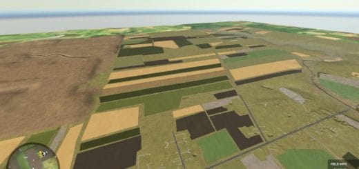
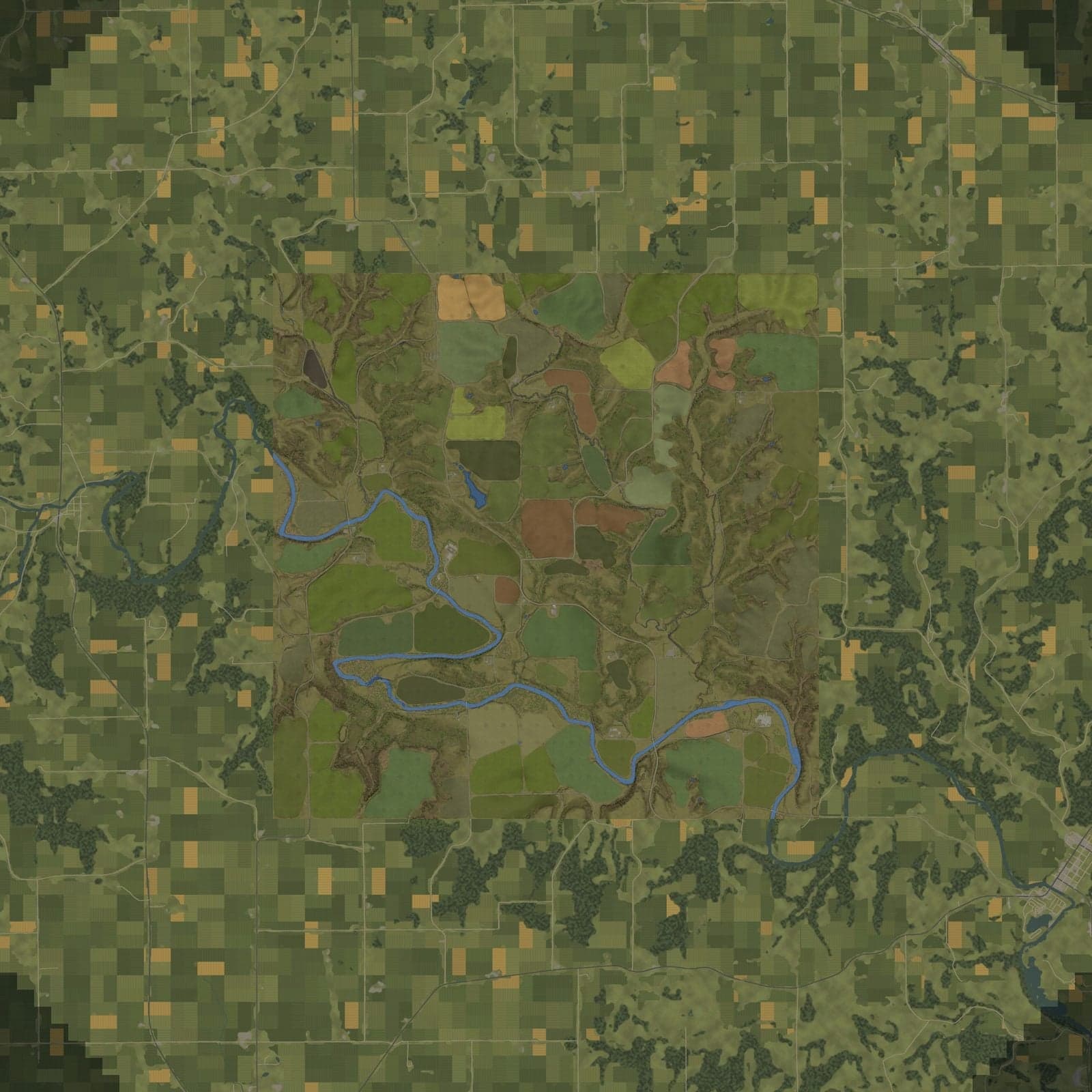
Dover Mills gives you a place to build your own farm. This 16x map recreates real north-east Iowa around Dover Township in Fayette County, following the Turkey River valley up from Clermont. Its terrain is based on the 2020 Iowa LiDAR survey, placing each hill, hollow and creek where it belongs. Located on the Driftless edge, the map features rolling corn ground, limestone bluffs and hardwood timber instead of the flat Iowa shown on postcards.
Features
- 01) 112 large, rounded fields reaching about 100 ha, with 32 field-work angles to align rows with every field.
- 02) Alongside the standard crops, there are 30 additional crops, as well as orchards and berry fields.
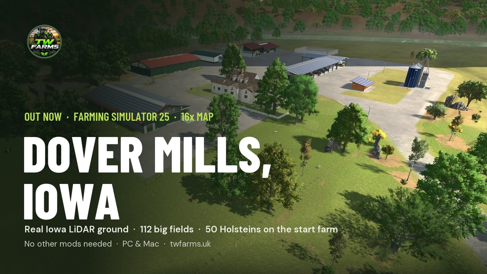
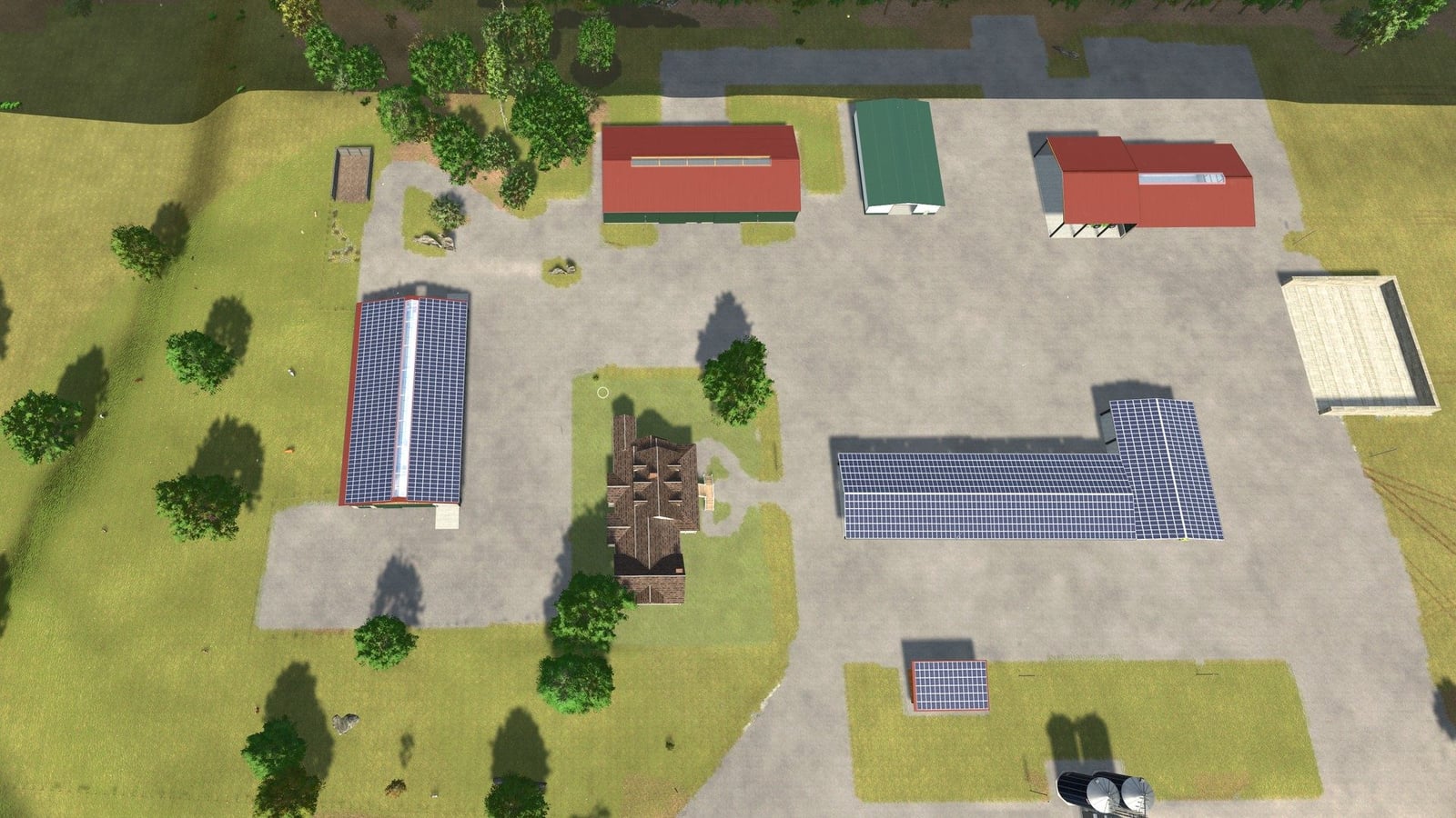
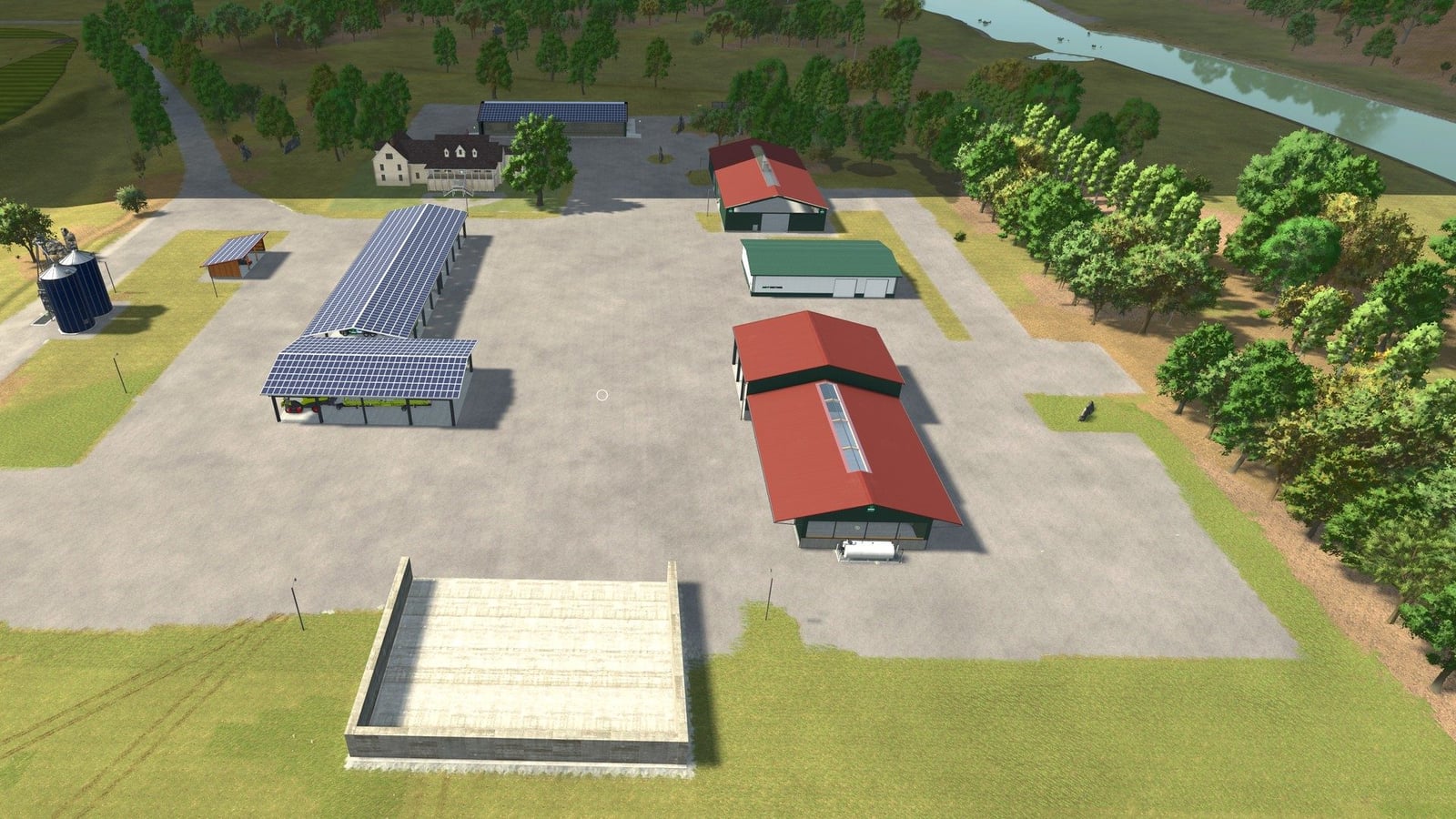
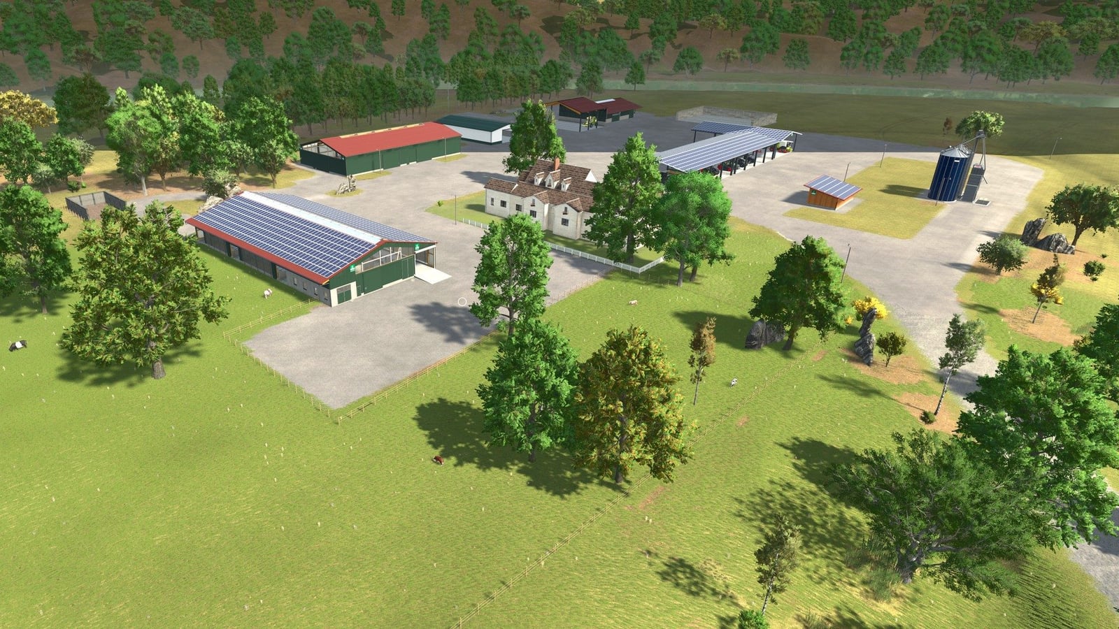
- 03) Reclaimed Lands Farm is the starting farm, with 50 Holsteins in the large barn and a dedicated paddock.
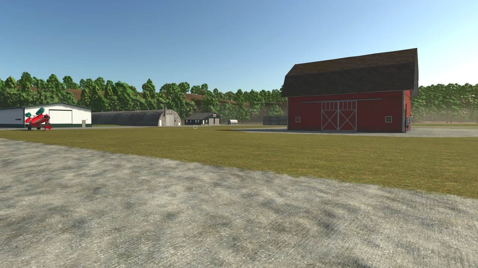
- 04) Another 12 farmsteads provide their own land, each with a different layout and JnJ’s multi-fruit farm silo built into the map.
- 05) Helpers can use AI routes across roads and farm tracks. County Road B40 includes traffic, and five bridges cross the Turkey River.
- 06) The map includes a vehicle dealer, gas station, TW Farms Livestock Market, farmers market, bakery, dairy, grain mill and biogas plant.
- 07) Farms and woods continue beyond the map edge in the distance, keeping the world from simply ending there.
Known issue: Near the north-centre of the map, a creek passes under the road in a dip. This is fixed in the next update.