FS25 Auto Leveler – Landscaping Terraformer & Slopes V1.0.0.0
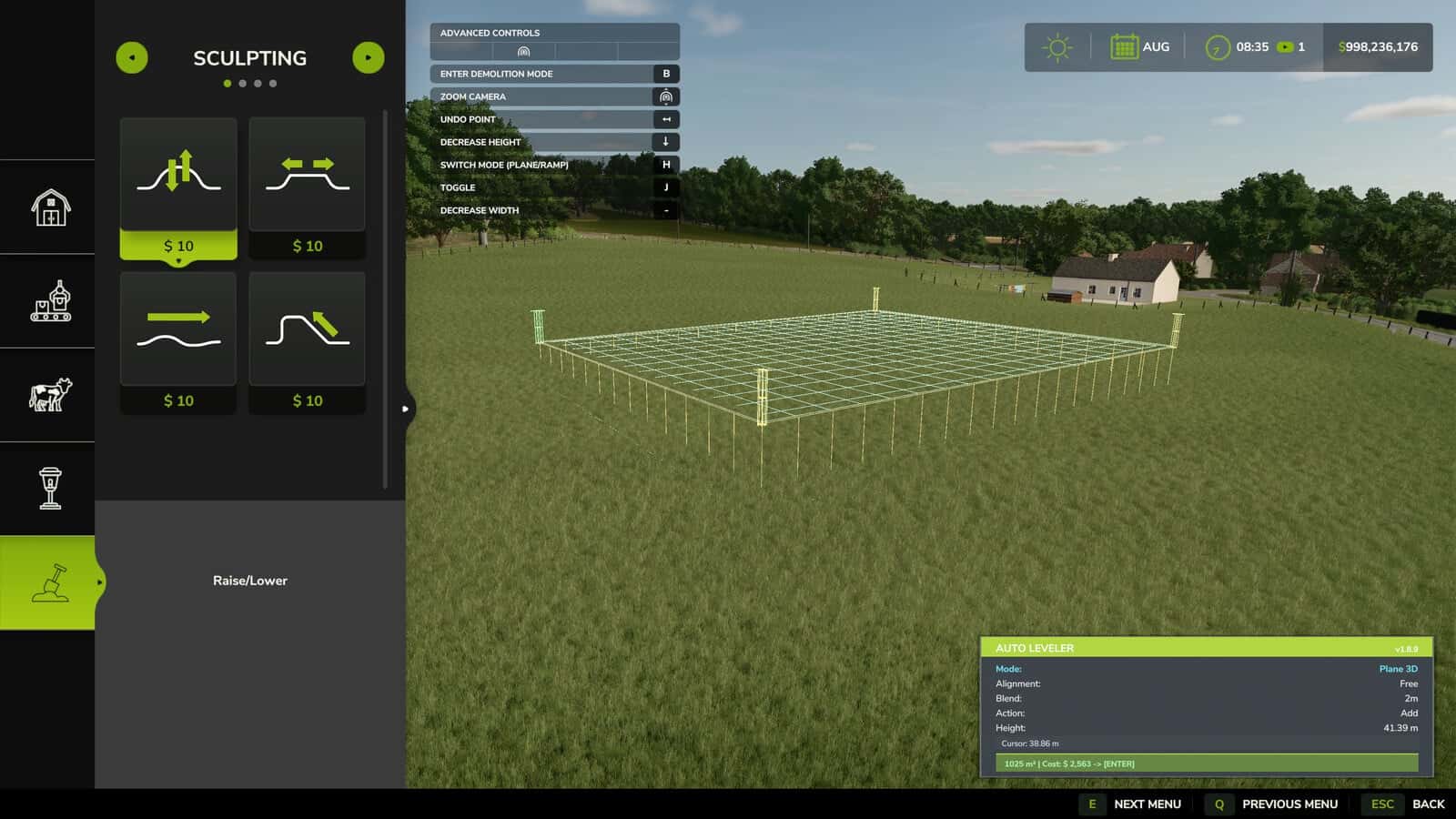
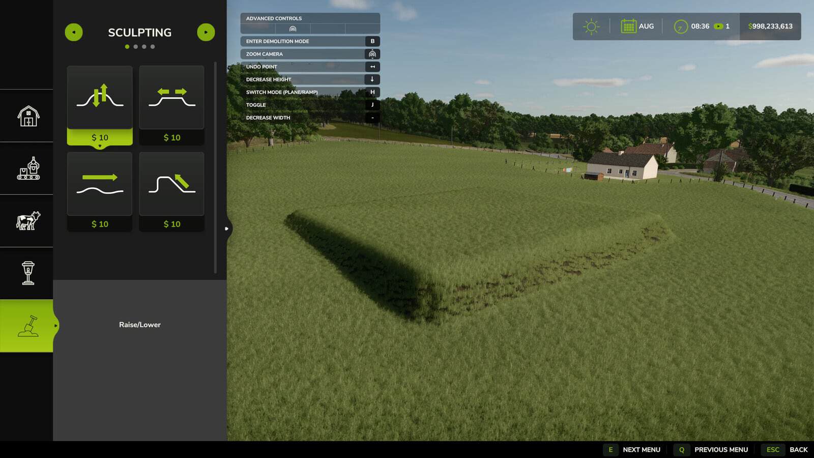
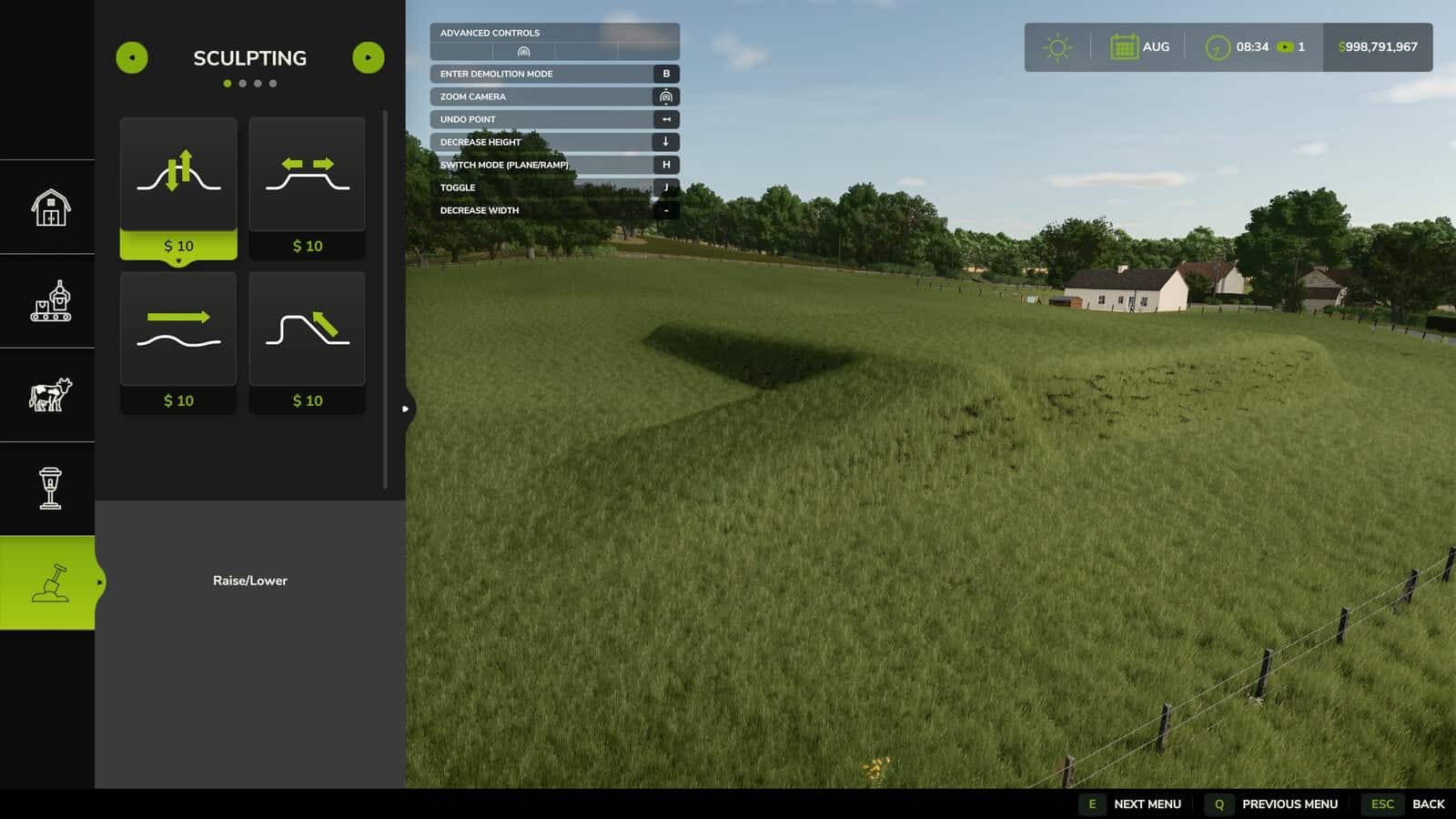
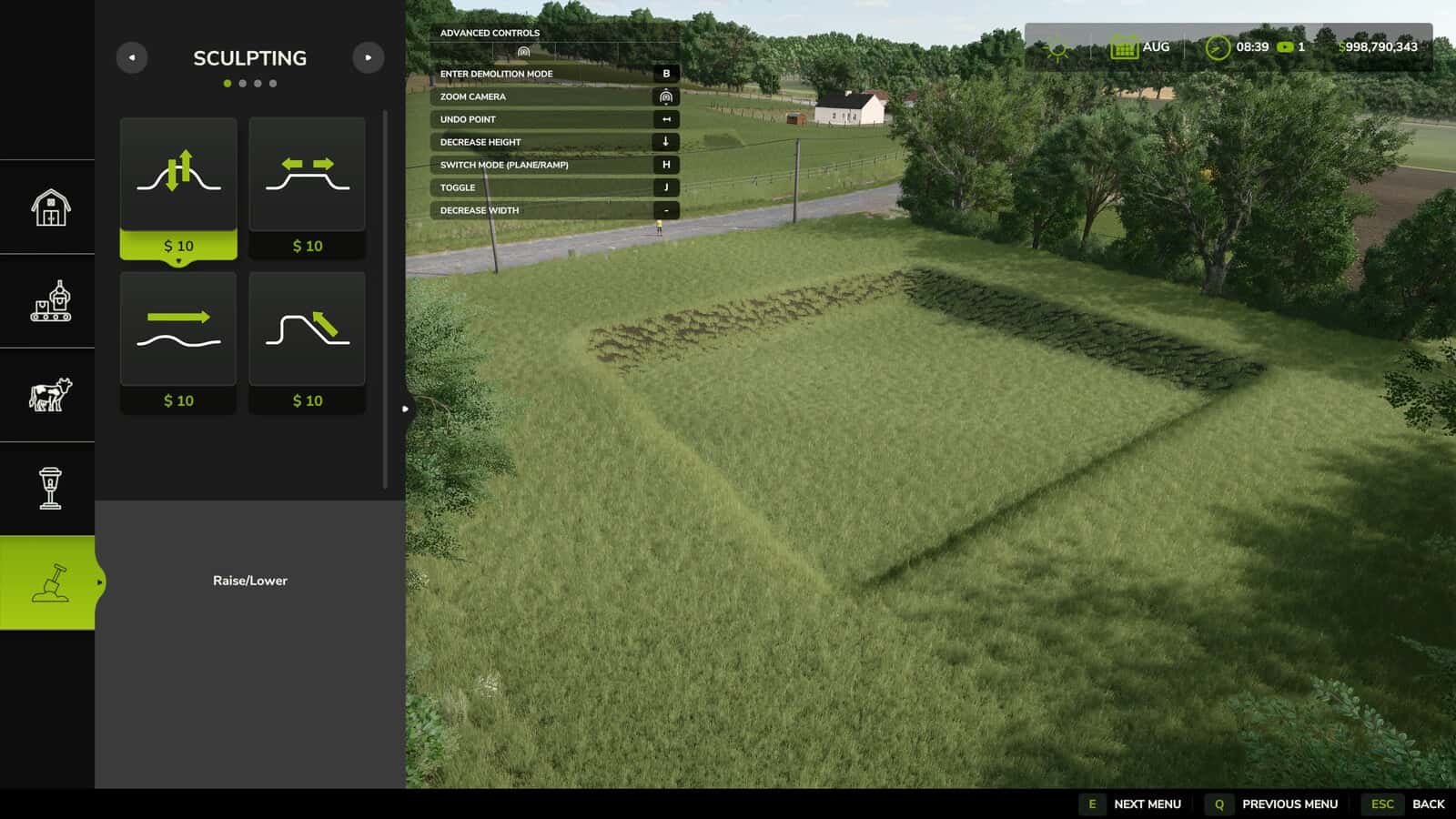
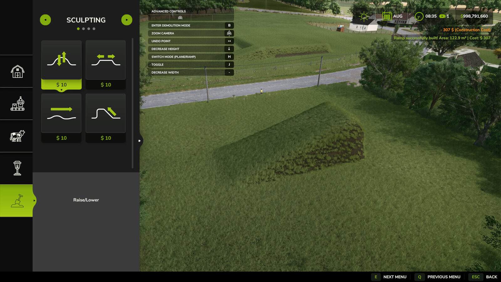
Auto Leveler is a terraforming tool for Farming Simulator 25 that allows you to mark boundary corners, preview an elevation plane in real time, and flatten an entire area with [Enter]. It also supports custom planes, ramps, adjustable slopes, and terrain blending.
How to Use / Activation Note:
To activate the Auto Leveler, enter the Construction Menu and ensure you are on the main overview/selection screen, without any active building or specific landscaping brush selected. Press [J] to open the mod interface and start creating your custom planes or ramps. If you have a building or landscaping tool currently selected, simply press [ESC] to return to the main construction menu screen, and then press [J] to activate the mod seamlessly.
Features
- Create large construction pads, yard expansions, and flat building sites in seconds instead of using the manual brush.
- Create flat and level terrain without uneven bumps, glitches, or holes under sheds, silos, and factories.
- Use automatic edge blending, Talude, with slopes of 2m, 4m, or 6m.
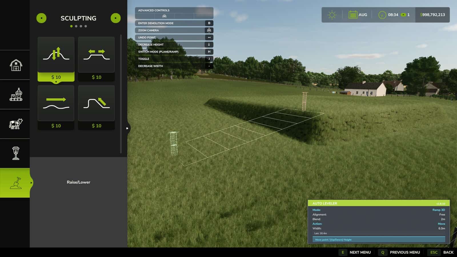
- Build 3D ramps to connect elevated yards and roads with slope percentage readouts and adjustable width.
- Preview the real-time area, in m², and estimated cost before applying terraforming.
- 3D Holographic Plane: Real-time elevation preview with volumetric posts showing the exact target height.
- Auto 90°/45° Alignment & Square: Smart magnetic snap and Neon Green guide line to align with Point 1 for rectangles and squares.
- Easy Polygon Closing: Click directly on Point 1 or double-click anywhere to lock and close the area.
- Realistic Slope Smoothing, Talude: Vertical cut or smooth transitional slopes of 2m, 4m, or 6m for natural terrain blending.
- 3D Ramp Builder: Start and end heights with adjustable road width from 2m to 30m and real-time slope percentage calculation.
- Dynamic Height Control: Raise or lower the entire flat plane or individual ramp points using the Up/Down Arrow keys.
- Live Financial & Area Telemetry: Real-time m² area calculation and estimated cost preview.
- Move & Adjust Points: Press ‘R’ to drag and adjust marked points directly on the ground.
Controls
- [J]: Activate / Deactivate Auto Leveler inside Construction Mode.
- [H]: Switch Mode, 3D Flat Plane or 3D Ramp.
- [X]: Toggle Alignment, Free Drawing or 90°/45° Orthogonal Snap.
- [R]: Toggle Action, Add Points or Move/Drag Points.
- [T]: Cycle Edge Finish, Vertical Cut, 2m Slope, 4m Slope, or 6m Slope.
- [Up Arrow] / [Down Arrow]: Increase / Decrease Height.
- [+] / [-]: Increase / Decrease Ramp Width.
- [Left Click]: Place point on terrain or click Point 1 to close polygon.
- [Double Click]: Quick lock and fix polygon points.
- [Backspace] / [Right Click]: Undo last placed point.
- [Enter]: Apply terraforming to the terrain.